Mapping Los Angeles: GIS, Imagery, and the Power of Geospatial Data
September 17 at 12:00 pm to 1:00 pm
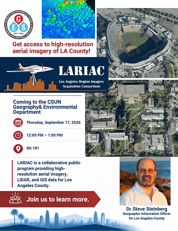
Join the Department of Geography and Environmental Studies for a special presentation featuring Dr. Steven J. Steinberg, Geographic Information Officer (GIO) for Los Angeles County, for an inside look at how geographic information systems, aerial imagery, and geospatial technologies are helping us better understand and serve one of the nation’s largest and most complex regions.
Date: Thursday, September 17, 2026
Time: 12:00 PM-1:00 PM
Location: SH181
Dr. Steinberg will introduce the Los Angeles Region Imagery Acquisition Consortium (LARIAC) and explore how high-resolution imagery and other geospatial data are collected, managed, and transformed into valuable resources for local government and communities throughout Los Angeles County. From planning and environmental analysis to infrastructure, public services, and resource management, LARIAC demonstrates the many ways geographic information can support real-world decision-making.
Drawing on a career that spans public service, higher education, research, and geospatial leadership, Dr. Steinberg will also share insights into the evolving role of GIS and the opportunities available to students interested in geography, GIS, remote sensing, and geospatial careers.
Whether you are an experienced GIS user or simply curious about how maps and spatial data shape the places where we live, this presentation offers an opportunity to discover how geography moves beyond the classroom and into practice across Los Angeles County.