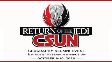
SAVE THE DATE: Return of the Jedi GES Alumni and Student Event
Join the CSUN Department of Geography and Environmental Studies (GES) for a two-day celebration bringing together Geography alumni, students, faculty, and friends of the program! Reconnect with the GES community,… Continue reading SAVE THE DATE: Return of the Jedi GES Alumni and Student Event